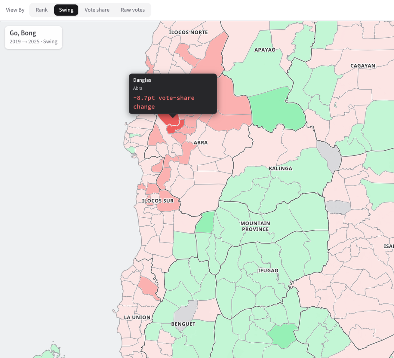
Philippine Senate elections are decided nationally — all 24 seats are elected at-large, so the only number anyone sees is the national tally. That hides geography: where a candidate actually won, where they lost ground, and how that shifted across elections. Official results exist, but they're scattered across seven election cycles, inconsistent formats, and multiple sources (COMELEC and NAMFREL archives), with no single place to see a candidate's support municipality by municipality. I compiled and reconciled results from 2007 to 2025 into one dataset — standardizing location codes, deduplicating candidate names across spelling variations, and stripping out summary columns that would double-count votes.
BotoSenado turns that dataset into an interactive explorer: a year-switchable leaderboard, a choropleth map of support down to the municipality, and a swing view tracking how repeat candidates gained or lost ground between runs — built for voters, researchers, and anyone curious enough to look past the national tally. It's an independent, unofficial project (not affiliated with or verified by COMELEC), upfront about its limits: some municipalities are missing from the original source files, so totals can diverge from the official count. Built with IanMaps.
 Connect on LinkedIn